Maps from Google Maps and all images from Street View.
109.3 km - 104 km = 5.3 km (banked)
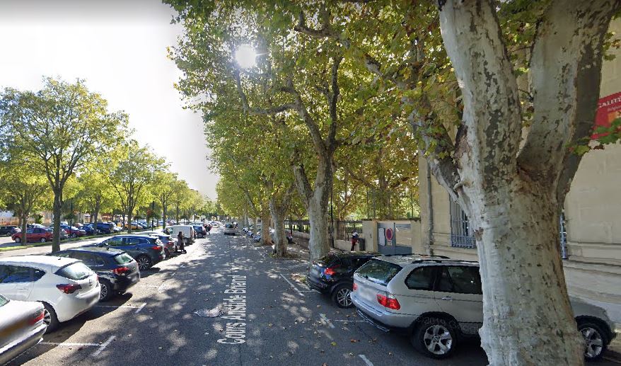
1. Cours Aristide Briand, Orange
2. The D976, with the Opéra ,salle Saint Florent, Théâtre municipal, Orange
3. Pont de Roquemaure over the Rhone River
4. Start of Bicycle path along the Rhone
5. Crossing the Rhone again over the Barrage de Villeneuve-les-Avignon
6. The Route de L'Islon
7. The Chemin de la Traille, with the Pont d'Avignon to the upper left
8. Cable ferry across the Rhone, Avignon
9. The Bulevard de la Ligne, with Avignon's town walls
11. the Palais des Papes, Avignon
12. The Carousel on Rue de la Republique
14. Boulevard Saint-Michel
15. Chemin de la Sourdaine
16. The Chemin du Bord de Durance
17. The Chemin du Pont, running parallel to the A7
18. The D99, crossing the Durance River
19. Avenue de la Canebiere
20. Avenue des Freres Roqueplan, Mallemort
23. Les Vignerons du Roy Rene, along he D7N at Lambesc
24. The D7N in Saint-Cannat
25. Alongside the Route d'Avignon, Aix-en-Provence
26. The Best Western la Galice, my virtual stay in Aix-en-Provence
27. The Place des Cardeurs, Aix-en-Provence
28. Cezanne's Studio, Aix-en-Provence
29. Inside Cezanne's Studio
30. Musee Granet, Aix-en-Provence
31. Inside the Musee Granet
32. Cathedrale Saint-Saveur d'Aix-en-Provence
33. Inside the Cathedral, the baptistry and cloister
34. Place des Quatre Dauphines, Aix-en-Provence
35. Market day in Aix-en-Provence