


Banked distance 146.5 km./91 mi. (Banked) - 41.7 km/25.9 mi. = 104.8 km/65.1 mi (banked)

The Bull Ring Tavern, Ludlow

2. St. Laurence's Church, Ludlow

3. The B4361 Ludlow

4. St. Leonard's Church Gateway, the church now houses a print-shop

5. Fishmore Road at Carpenter's Lane

6. Just north of Great Sutton
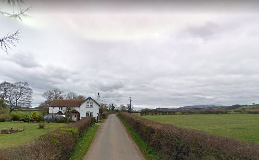
7. Peaton

8. North of Peaton

9. Broncroft Castle, on Sandy Lane, Tugford

10. The Feathers Pub at Brockton

11. Stile and sign before Much Wenlock

12. Gaskell Arms Pub, Much Wenlock

13. Slight detour onto the High Street, Much Wenlock

14. Whitmore Street and Much Wenlock Parish Church

15. Wharfage, Ironbridge

16. The Museum of the Gorge, Ironbridge

17. The Iron Bridge, Ironbridge

18. Bedlam Furnaces, Ironbridge

19. Bird in Hand 1774 Inn, Ironbridge - my (virtual) stop in Ironbridge
