Banked distance 136.8 km/85.1 mi - 110.4 km/68.6 mi = 24.6 km/ 15.3 mi.
1. Bridge over the River Severn, Ironbridge
2. Jackfield Tile Museum, Church Road
3. Sign for the Severn Valley Way Bicycle Route
4. Coalport Road over the Severn River
5. Haven Hills area
6. Caynton Cottages, Caynton
7. Shrewsbury Arms Pub, Albrighton
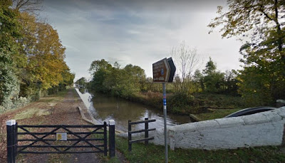
8. Tow path, Dunstall Park, Clareton
9. Tow path, Wolverhampton
10. Canal Locks, Wolverhampton
11. More canal locks, Wolverhampton
12. Canal tow path, Wolverhampton
13. Another tow path view, Wolverhampton
14. Miner's Statue, Brownhills
15. The A5 (Watling Street - originally a Roman road)
16. Christ Church, Lichfield
17. Lichfield Cathedral
18. Netherstowe bicycle path, Lichfield
19. Tow path at Fradley Pool, Burton on Trent
20. The Green Man and Rising Sun pubs, Willington
21. Bicycle path at Infinity Park Way, Derby
22. Bicycle Path at Sinfin Moor Lane, Derby
23. Navigation Inn pub, Shardlow
24. Marina Bar at the Shardlow Marina and Caravan Park
25. The Emily May is out there somewhere in the marina

26. Jon, the Emily May and the pooches


