125.2 km/77.8 mi. - 100.9/62.7 mi = 24.3 km/15.1 mi. (banked).
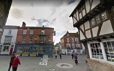
1. Bailgate, Lincoln
2. Hungate, Lincoln
3. High Street, Lincoln
4. The Bull pub and the Blacksmith pub, Bracebridge Heath
5. Grantham Road
6. Ermine Street (Roman Road) at Temple Road
7. Ermine Street at Long Lane
8. High Dike
9. Ermine Street, Ancaster
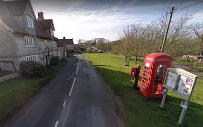
10. humby Village
11. Corby Road
12. Glen Road, Castle Bytham
13. Holywell Village
14. Old Great North Road, Great Casterton
15. St. Peter's Church, Tinckercote, Great Casterton
16. Scotgate, Stamford
17. The B1081, Stamford
18. The A43, Stamford
19. Entry to Burghley House grounds
20. Burghley House
21. Inside Burghley House
22. The Bull Hotel, my virtual stay in Peterborough
23. Peterborough Cathedral
24. Inside Peterborough Cathedral
24. Inside Peterborough Cathedral


