


77.7 km/48.3 mi - 45.4 km/28.2 mi. = 32.3 km/27 mi. (banked)

1. George Street, St. Albans

2. Start of the path at the end of Abbey Mill Lane, St. Albans

3. Remains of the London Gate, Roman ruins, St. Albans

4. Information plaque at London Gate

5. Watford Road (B4620), St. Albans

6. St. Albans Road, Watford

7. Croxley Green tow path

8. Croxley Green tow path

9. Batchworth Lock Canal Centre

10. Springwll Lane, Harefield

11. Locks at Harefield

12. Towpath at Harefield

13. Malt Shovel pub at Uxbridge

14. Grand Union Canal walk, Uxbridge

15. Grand Union Canal Slough Arm

16. Tow path at Slough

17. Sutton Avenue, Slough

18. Path at Upton Park Court

19. Michael's Bridge, over the Jubilee River

20. B3022, Eton

21. Eton College Chapel

22. Inside Eton College Chapel

23. High Street, Eton

24. Bridge over the Thames, Eton

25. The Travelodge, my virtual stay in Windsor

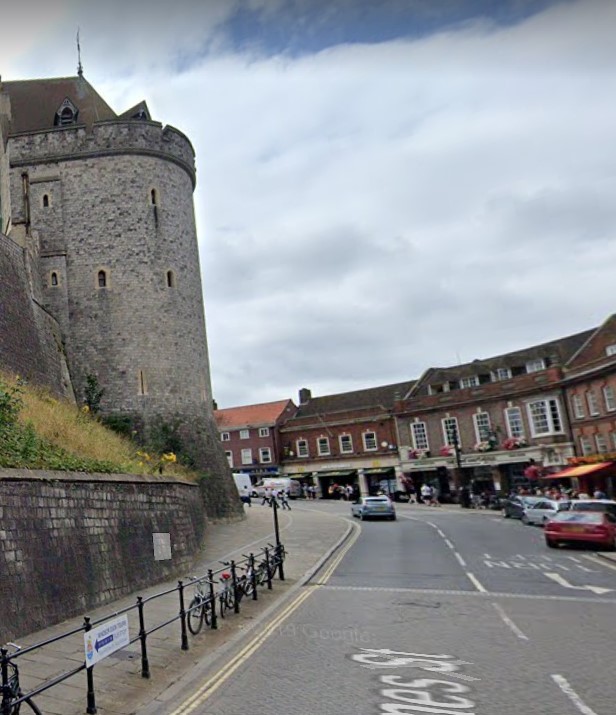
26. The Curfew Tower, Windsor Castle
27. Entrance to Windsor Castle
