


118.3 km./73 mi. - 37 km./23 mi. = 81.3 km/50.5 mi. (banked)

1. The A917, just outside of Kingsbarns

2. Turning off the A940 toward the "Secret Bunker"

3. The Secret Bunker

4. Inside the Secret Bunker

5. Doubling back along the A940

6. Crail Community Hall

7. The A917 and the Golf Hotel, Crail

8. The coast at Crail, from Roombay Crescent

9. Shoregate in Crail

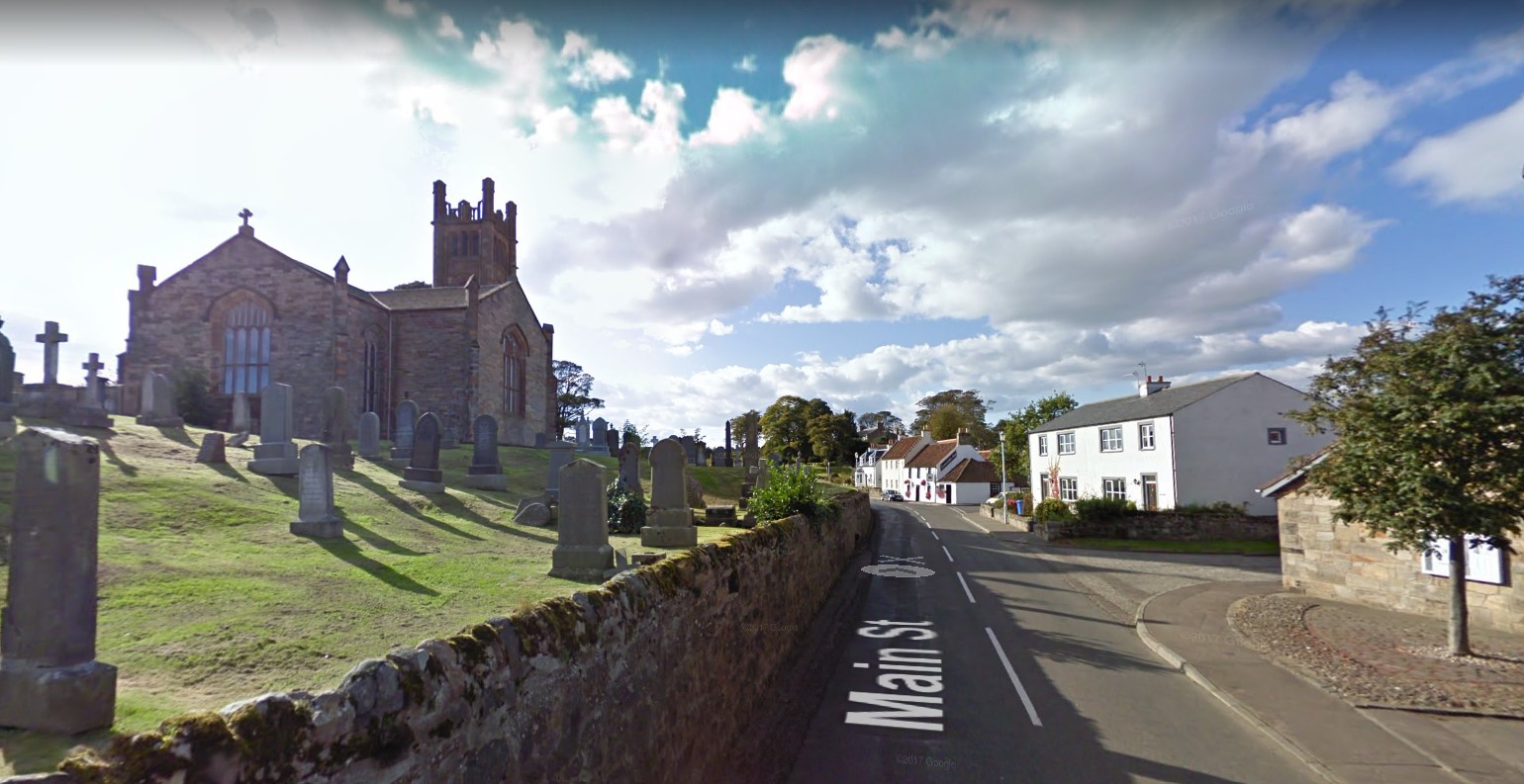
10. Kilrenny Church

11. The Scottish Fisheries Museum Trust, Anstruther

12. The Ship Tavern, across from the Harbour at Anstruther

13. The Harbour, Anstruther

14. Crail Road, Anstruther

15. Smugglers Inn, Anstruther

16. The High Street, Anstruther

17. Routine Road, Pittenween

18. Pittenween Harbour

19. Mid Sbore, Pittenween

20. Mid Shore, St. Monan's Harbour

21. West Shore, St. Monan's Harbour

22. Braehead, St. Monan's Harbour

23. Babluthie Road

24. Kilgonquhar Parish Church
25. The Lower Largo Coastal Path, Dumbarnie Links Nature Reserve

26. Seascape, my virtual stay in Lower Largo
