


85.4 km/53.1 mi. - 65.3 km./40.6 mi. = 20.1 km/12.5 mi. (banked).

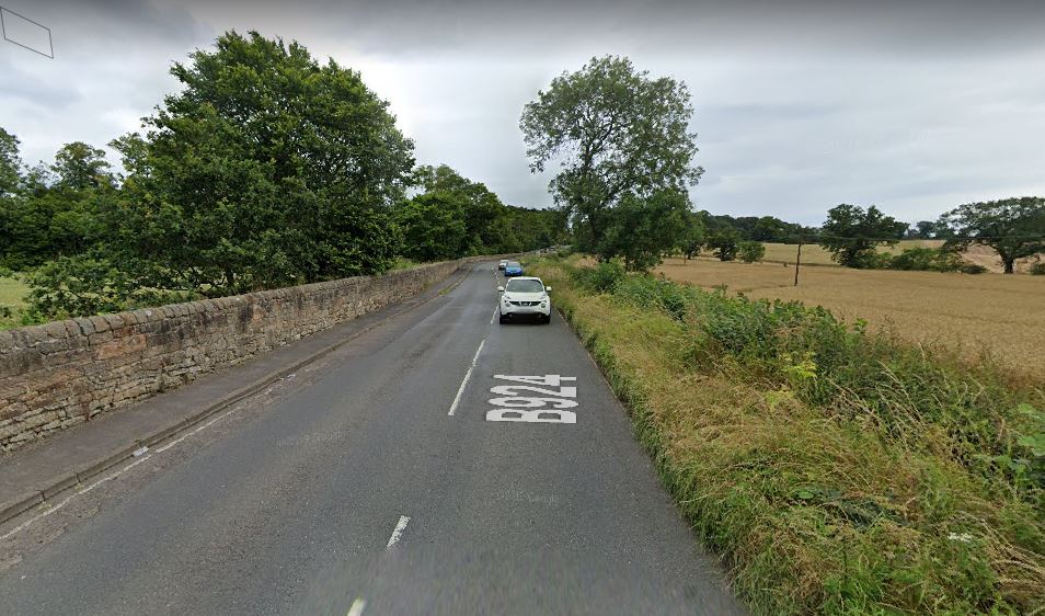
1. The B924, just east of Queensferry
2. Braepark Road

3. Cramond Park, entrance to Lauriston Castle

4. Lauriston Castle

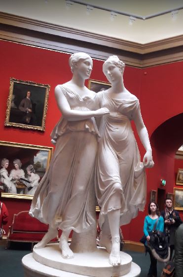
5. Inside Lauriston Castle
6. Barnton Gardens, entrance to bicycle path

7. On the left, Leith Farmer's Market, Commercial Street (A199), Edinburgh

8. Bernard Street (A199), Edinburgh

9. Seafront path, Edinburgh

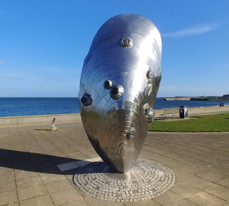
10. Shell statue, Musselburgh
11. Harbour at Musselburgh from New Street

12. Goosbreen Crescent, Musselburgh

13. A totem pole (?) in Prestonpans

14. The Bicycle path at Haddington

15. The John Gray Centre and Victoria Inn, Haddington

16. East of Haddington

17. Just west of Hailes Castle

18. Hailes Castle

19. Brae Heads Loan

20. Kirklandhill Standing Stone

21. Dunbar Harbour at Castle Gate

22. Dunbar Castle

23. Dunbar Battery

24. The Dunmuir Hotel, my virtual stay in Dunbar
